


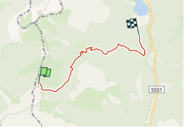

4,8 km | 8,1 km-effort

Tous les sentiers balisés d’Europe PRO


Gratisgps-wandelapplicatie
 SityTrail
IGN / Geografische instituten
SityTrail World
De wereld gaat voor u open
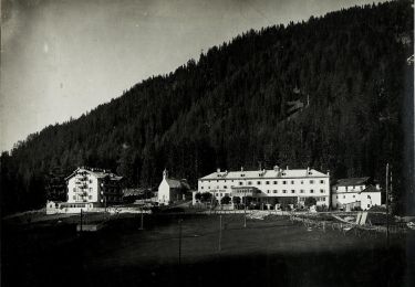
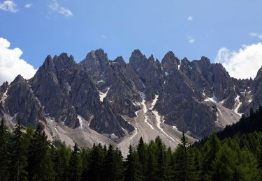
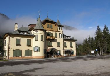
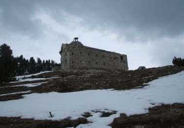
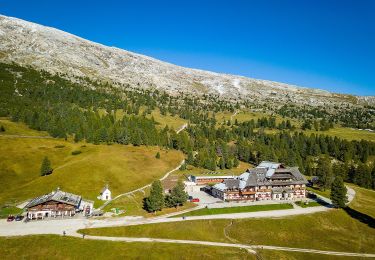
Tocht Te voet van 4,8 km beschikbaar op Trento-Zuid-Tirol, Bolzano - Bozen, Toblach - Dobbiaco. Deze tocht wordt voorgesteld door SityTrail - itinéraires balisés pédestres.
Trail created by AVS.


Te voet
Te voet

Te voet
Te voet
Te voet
Te voet
Te voet
Te voet
Te voet